

NASA recently shut down its instrument CRISM a mineral mapping instrument on MARS. So many orbiters, and satellites are going to end their mission this year, CRISM the Computer Reconnaissance Imaging Spectrometer for Mars is also one of them.
After 17 years of service, NASA finally decommissioned CRISM, it serve its main mission to find and map minerals on Mars.
What is CRISM Instrument?
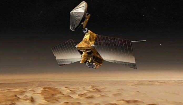
NASA CRISM is known as Compact Reconnaissance Imaging Spectrometer MARS. It is one of the six instruments that was aboard the Mars Reconnaissance Orbiter.
Its aim was to map the kind of mineral residue that appears where water once existed on Mars. The instruments managed by John Hopkins University’s Applied Physics Laboratory help scientists understand the planet’s ancient hydrological history by detecting clays, hematite, and sulfates.
It has two detectors that could see in infrared and visible light, allowing it to identify the chemicals of minerals formed in the presence of water when there was water in Mars.
So its aim is to detect the minerals sediments on Mars and also know the mineral and water history of Mars.
Infrared light on Mars caused warming effects on the spacecraft on which CRISM was aboard, to keep their spectrometers cool cryocoolers were used. To date, three cryocoolers were used in succession and the last completed its lifecycle in 2017.
They studied the most interesting landing sites such as the Jezero crater, which is important for NASA’s Perseverance Rover, and the Gale Crater which curiosity has been exploring since 2012.
NASA CRISM Produces Important Data in Search of Ancient Minerals
NASA turned off is 17 years old instruments studying Mars on 3rd April. It abroad NASA’s Mars Reconnaissance Orbiter revealed important minerals such as clays, hematite, and sulfates across the Mars red planet’s surface for 17 years.
They have produced important data previously collected by the infrared spectrometer and the second spectrometer which viewed more minerals containing 5.6 gigapixels has a spatial resolution of 600 feet per pixel and covers 86% of Mars.
For the second map, its remaining spectrometer gathered data at an even higher resolution 300 feet or 90 meters per pixel. These spectrometers viewed minerals in visible and near-infrared light.

These images of Nilli Fossae region of Mars were captured by CRISM. These various colors represent minerals on the Martian surface seen in different wavelengths of light. (Image Credit: NASA/JHU-APL)
Kim Seelos a CRISM Deputy Principal Invesitgator at APL said “ With these new maps, researchers can easily tie mineral deposits observed in high-resolution images to regional scale trends, landscape features, and geology,” Even though the CRISM investigation is formally coming to a close, I hope and expect to see many future scientists taking advantage of CRISM data for their research.”